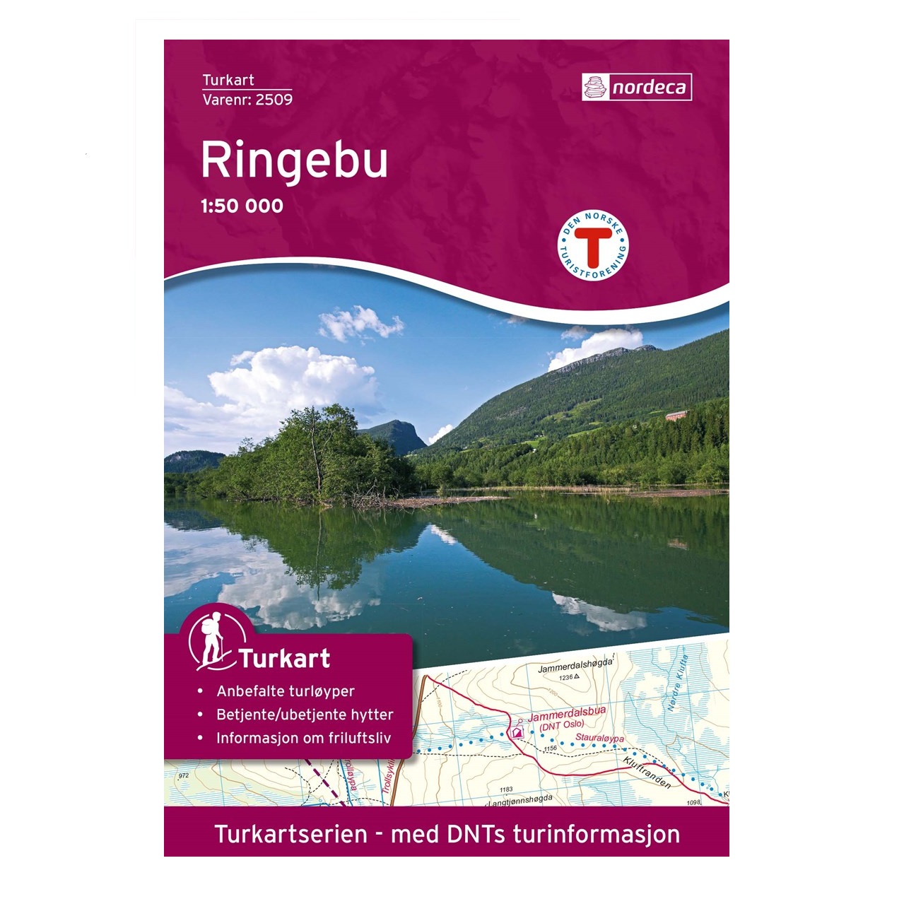
NORWAY 2509 – Ringebu 1:50:000 – OUT OF STOCK
£24.49
OUT OF STOCK
The purple Hiking Map series for the popular outdoor areas of Norway, produced by Nordeca in conjuction with the Norwegian Trekking Association (DNT) to provide a specific map for the outdoor enthusiast. Printed on a lightweight and strong material which is waterproof and designed especially for those exciting moments when a map is a must and the weather wants to test your skills.
The topography consists of shading and contours at 20 metre intervals which clear and easy to ready labelling making footpaths, cycle and ski routs easy to identify and mountain huts and campsites easy to find.
The legend is printed in various languages including English, while the reverse side offers a mixture of information, mainly in Norwegian and additional 1:25,000 mapping of specific areas.
Map 2509 covers Fåvang, Ringebu, Store Kvia, Venabygd and Venabygdsfjellet
Don’t forget to check out our Gift Box page for our selection of offers, multi buys and of course gifts
***AVAILABLE TO ORDER ONLY***
Description
Available from Hergest Navigation | Pointing you in the right direction
Nordeca is the main cartographer for Norway and produces a range of maps for the country from the 1:50,000 Norway series which covers the whole of Norway in just under 200 maps to specific road, boating and hiking maps. The purple Turkart Hiking series has been produced in conjunction with the Norwegian Tourist Association and covers the main outdoor recreational areas of the country showing the most popular hiking trails and walking areas in addition to the location of cabins, ski and cycle routes along with climbing and fishing areas. The maps are presented in three scales the most common being 1:50 000 while other areas are illustrated in greater detail of 1:25 000 and 1:100 000 to show the greater area.


Reviews
There are no reviews yet.