SUPERWALKER MAPS by HARVEY – JURA
£12.95
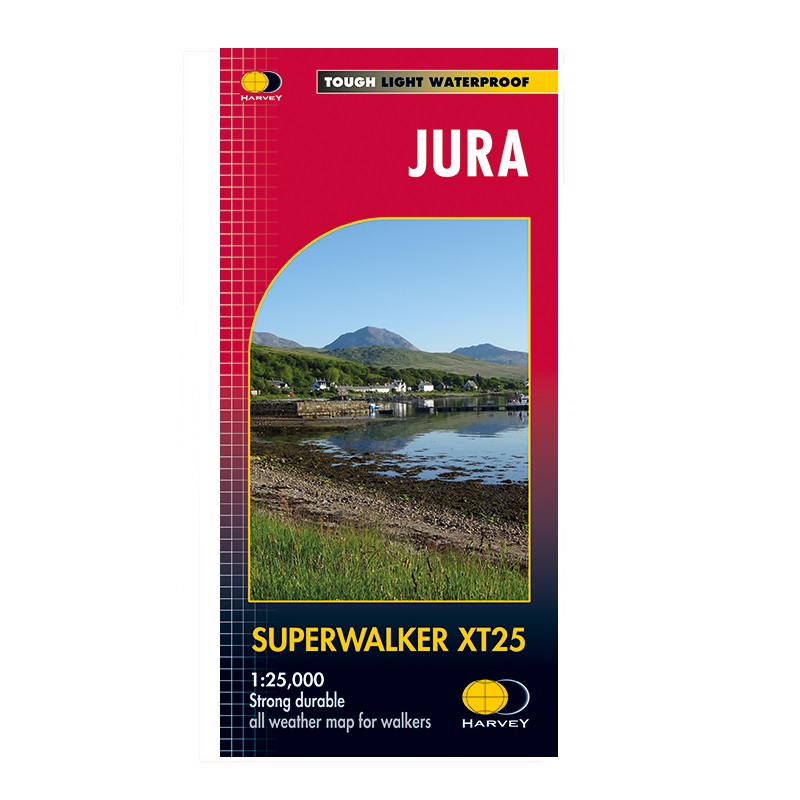
Harvey maps cover the whole of the Isle of Jura on this one sheet which includes the well known Paps of Jura which consist of 1 Corbett and 2 Grahams in addition to the unusual raised beaches of the isle.
Each Harvey Superwalker XT map as you would expect has superb mapping all at a scale of 1:25,000, the land is illustrated with the use of contours at 10 m intervals against a shaded background to illustrate the relief of the land. Add to this the use of spot heights to mark a specific point, symbols to show the terrain and clear labeling of place names and features such as rivers, streams and of course public rights with the added use of colour to show area of wood land. And there’s more, all of this printed on a lightweight, tough and waterproof material which folds down to nothing.
Don’t forget to check out our Gift Box page for offers, multibuys and of course lots of gift ideas.
Description
Available from Hergest Navigation | Pointing you in the right direction
The Harvey XT Superwalker series is printed double sided and has been described as tough, lightweight (60gms) and waterproof. The XT series are thin, easy to fold and easily fits in to you coat pocket or rucksack. It is the ideal map for exploring the outdoors with its 1:25,000 scale and easy to read with its clear use of contours and shading all drawn from aerial surveys while detailing relevant information for the walker such as public foot paths and bridleways. The series covers the National Parks of and mountainous areas of the UK.


Reviews
There are no reviews yet.