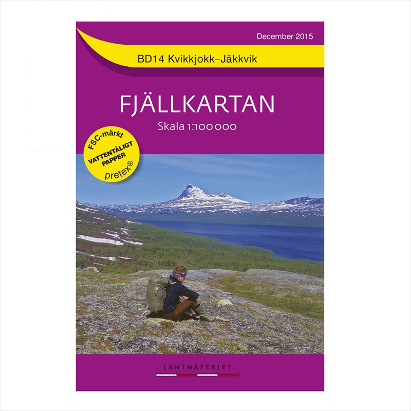
North Sweden BD14 Kvikkjokk Jäkkvik

£16.99

The high mountain border where Sweden meets Norway is mapped by Nordeca on the Norwegian side, while Fjallkartan provides a series of 25 maps which cover the Swedish lands.  At a scale of 1:100,00 from Salen in the south to the northern border, Fjallkarten have produced an easy and clear to read series of maps which, through a combination of colour, shading and contours at 20 metres, show the topography of the area.

The maps display the National Parks and Nature Reserves of the area, while clearly marking the mountain trails, ski routes, campsites, youth hostels, mountain huts, wind shelter and emergency phones.  In addition, the vegetation is marked through a mixture of colour and shading.

The reverse side provides information of each area in Swedish.

All the maps are printed on waterproof paper.

Don’t forget to check out our Gift Box page for our selection of offers, multi buys and of course gifts

Categories: ,

Description

Available from Hergest Navigation | Pointing you in the right direction

The Fjallkartan 1:100,000 purple series outdoor map is produced by Nortstedts, the oldest publishing house in Sweden.

This series focuses on Sweden’s mountainous region in the north west along the border with Norway from Treriksröset in the north to Salen in the south.

With shading and contour lines at 20m intervals the relief is clearly illustrated on each sheet.  In addition, the national parks, cabins, trails and bridges are easily identifiable.  Printed on waterproof paper and with information written in Swedish, German and English, these maps are ideal for exploring this remote area.

North Sweden BD14 Kvikkjokk Jäkkvik
Reviews

There are no reviews yet.

Be the first to review “North Sweden BD14 Kvikkjokk Jäkkvik”

Your email address will not be published. Required fields are marked *