
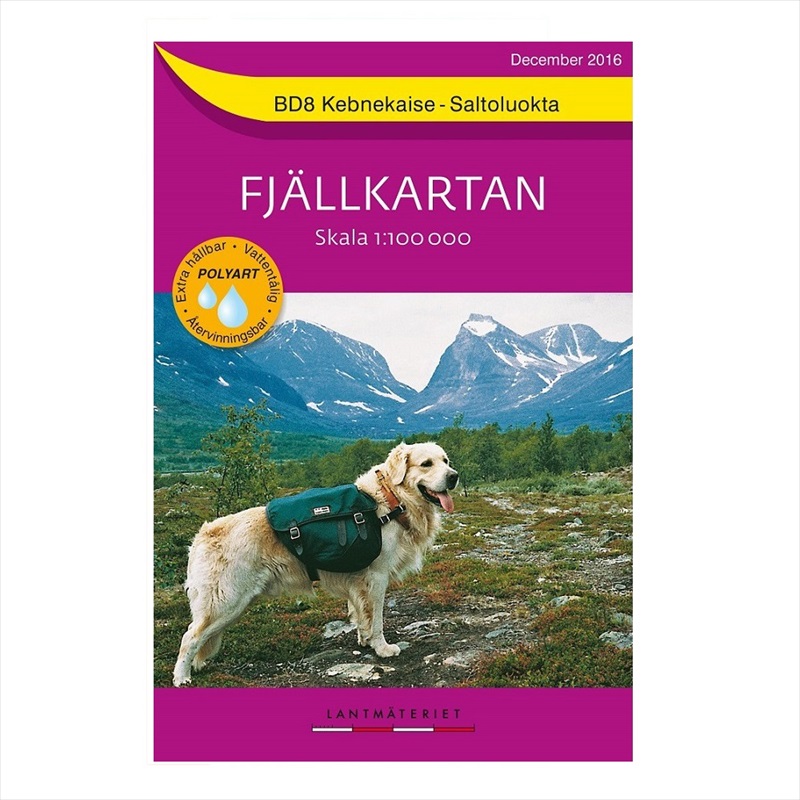

Description
Available from Hergest Navigation | Pointing you in the right direction#
The Fjallkartan 1:100,000 purple series outdoor map is produced by Nortstedts, the oldest publishing house in Sweden.
This series focuses on Sweden’s mountainous region in the north west along the border with Norway from Treriksröset in the north to Salen in the south.
With shading and contour lines at 20m intervals the relief is clearly illustrated on each sheet. In addition, the national parks, cabins, trails and bridges are easily identifiable. Printed on waterproof paper and with information written in Swedish, German and English, these maps are ideal for exploring this remote area.
North Sweden BD8 Kebnekaise Saltoluokta

Reviews
There are no reviews yet.